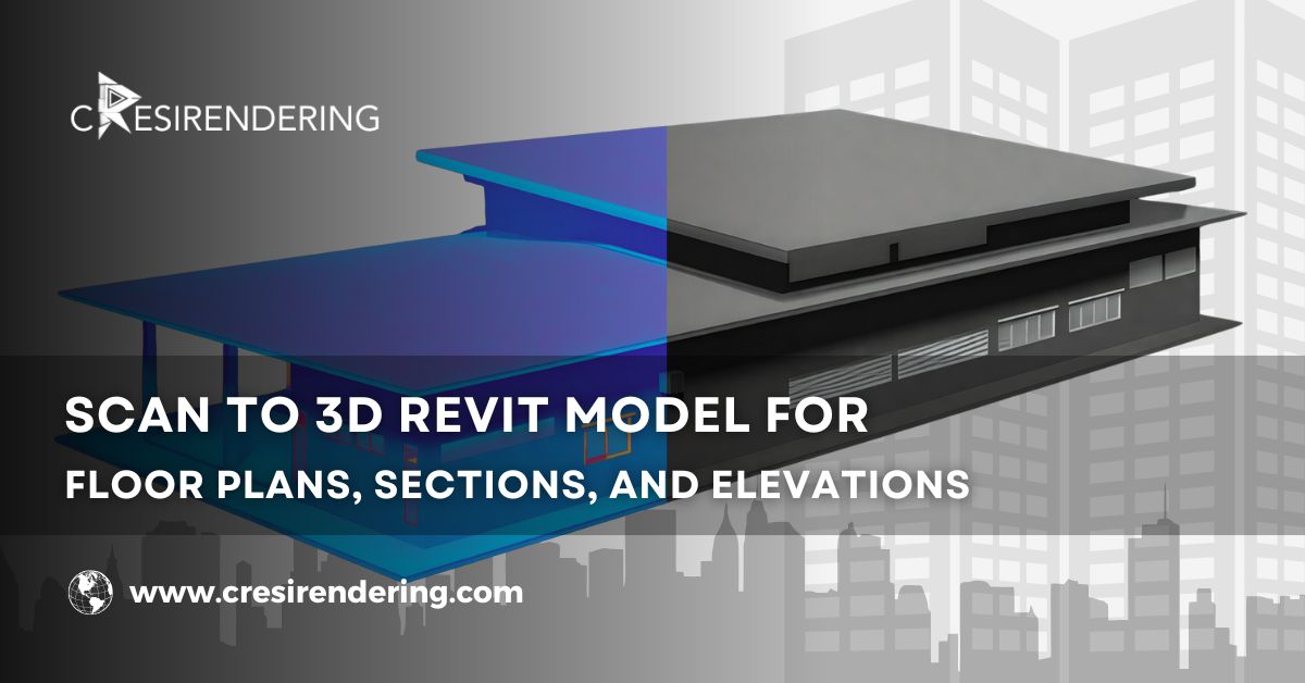
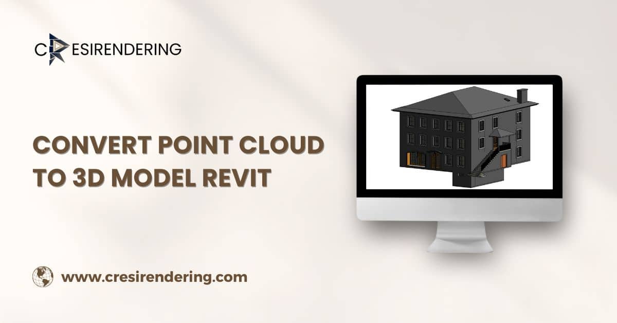
Discover the efficient process to convert point cloud to 3D model revit, enhancing accuracy and detail for your project.
Introduction
To Convert Point Cloud to 3D Model Revit is an important process in the Architectural, Engineering, and Construction domain. The development of Scan to 3D BIM models unlocks many possibilities, enabling architects, engineers, and designers to igners to leverage precise spatial data for visualization, analysis, and planning.
Mastering this process requires a deep understanding of the underlying principles, coupled with proficiency in the software and techniques involved.
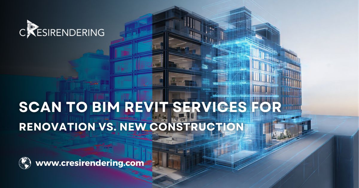
In this post, we delve into the intricacies to Convert Point Cloud to 3D Model Revit or Scan to BIM Revit Services, exploring the software solutions available and providing a comprehensive step-by-step guide to achieve optimal results.
Explaining To Convert Point Cloud to 3D Model Revit
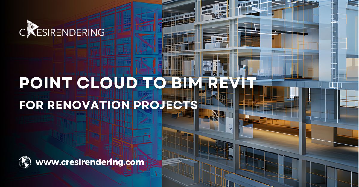
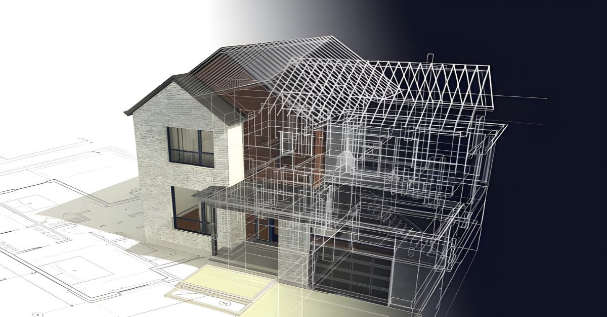
Converting point cloud to 3D models involves the process of transforming raw point cloud data, captured through technologies like LiDAR (Light Detection and Ranging) or photogrammetry, into digital representations of physical objects or environments in three dimensions.
- Point cloud are essentially dense collections of 3D points, each representing the spatial coordinates and attributes of surfaces or objects within a scanned area.
- By converting these point cloud into 3D models, practitioners can create highly detailed and accurate virtual replicas of real-world structures, landscapes, or artefacts.
Software Used to Convert Point Cloud to 3D Model Revit
Several software solutions cater to the conversion of point cloud into 3D models or 3d point cloud to bim, each offering its own set of features, capabilities, and workflows.
- One widely used software in the domain of point cloud modeling is Autodesk Recap, which provides powerful tools for importing, registering, and visualizing point cloud data, as well as generating 3D models through automated processes or manual editing.
- Another notable option for scan to bim is Leica Cyclone, renowned for its advanced processing algorithms and comprehensive suite of tools for point cloud analysis and modeling.
- Additionally, Trimble RealWorks offers intuitive workflows for point cloud registration, segmentation, and scan to bim modeling, catering to the needs of surveyors, engineers, and architects.
Step-by-Step Process to Convert Point Cloud to 3D Model Revit
Several formats are suitable for point cloud data in 3D Laser Scan to CAD conversions, each with its advantages and compatibility with CAD software.
Some commonly used formats include:
1. Data Acquisition
Begin by capturing point cloud data using LiDAR, photogrammetry, or other 3D scanning technologies, ensuring comprehensive coverage of the target area.
2. Data Registration
Import the acquired point cloud data into the chosen software and perform registration to align multiple scans and eliminate discrepancies.
3. Noise Reduction
Utilise filtering and noise reduction techniques to enhance the quality of the point cloud data, removing outliers and irrelevant points.
4. Point Cloud Segmentation
Segment the point cloud into distinct components or surfaces based on attributes such as colour, intensity, or curvature, using tools available in the software.
5. Point Cloud to 3D Model Revit Development
Conduct Point Cloud Modeling from the segmented point cloud data, preserving geometric details and topology.
6. Model Refinement
Fine-tune the generated Point cloud to bim model through manual editing or automated processes, ensuring accuracy and fidelity to the original scanned objects.
7. Texture Mapping
Apply textures or images onto the point cloud to bim 3D model to enhance realism and visual appeal, incorporating photographic data captured during the scanning process.
8. Quality Assessment
Conduct thorough quality assessment and validation of the converted scan to bim 3D model, comparing it with reference data and addressing any discrepancies or errors.
Conclusion
Mastering the process to Convert Point Cloud to 3D Model Revit requires a blend of technical expertise, creativity, and attention to detail.
By leveraging the software tools and techniques discussed in this article, professionals can unlock the full potential of point cloud data, transforming it into accurate and visually compelling representations of real-world environments.
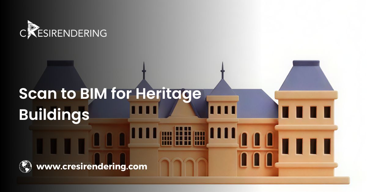
As technology continues to evolve, the capabilities and applications of point cloud to 3D modeling are poised to expand, offering new opportunities for innovation and efficiency across various industries, from architecture and engineering to cultural heritage preservation and beyond.
Email Us
Let's Talk
USA - (+1) 757 656 3274
UK - (+44) 7360 267087
INDIA - (+91) 63502 02061